[This is the third post in a series dissecting the campaign ‘bible’ document I drafted while planning my AD&D 1e campaign. See here for an introduction to this series of posts.]
Geography is Destiny
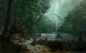
Deep Jungle by lyno3ghe (http://lyno3ghe.deviantart.com/art/Deep-Jungle-177097879).
The next section of the campaign bible document consists of a high-level summary of the islands making up the archipelago of Curabel, broadly divided into major islands with centers of civilization, second tier islands with smaller populations of note and/or adventure locations, and small islands with some special claim to fame. This was not intended to be an exhaustive list, with my thought being that this area would have countless small islands (many uncharted) that would make introducing new adventure locations on-the-fly without breaking the players’ suspension of disbelief easier.
More important than the geographic thumbnail sketch, though, this section of the bible is where I first decided some of the finer details of Curabel’s history, invented some (hopefully evocative) bits of its peoples’ languages, and introduced the small tweaks to the standard demi-human races that would set them apart (somewhat) from their fantasy archetypes. Many of these ideas were suggested to me by the geography of islands and how that would practically impact the development of different populations and any attempt to govern them — whether by a native empire or colonizing force. Besides pointing out the practical/gaming rationale of the islands’ layout, I will be calling particular attention to these socio-political points in the following commentary.
Geographic and Linguistic Overview
Isles of Curabel
Curabel is the imperial name for a chain of islands in the tropics of a world called Meidia. While the imperials were driven out centuries ago, the isles split into city-states following independence and no new human or elven name for the entire chain was adopted. In imperial common, the name meant “Beautiful Islands” (Cura = islands; bel = beauty). The native dwarves called the islands Weland’Khel (Water Fortress; Khel = fortress, Weland = water) and ruled the islands sometime before the arrival of the imperials – leaving behind many ruined cities and strongholds. Native humans adopted first the dwarven then imperial names.
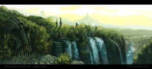
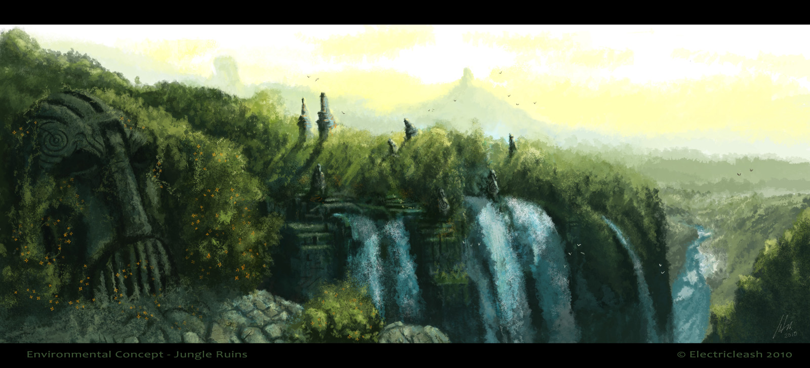
Jungle Ruins by Electricleash
I suppose it goes without saying that, like many RPG players of my generation, J.R.R. Tolkien was a major influence on my early life — and, eventually, my decision to get a PhD in medieval literature. This first little bit strikes me as reflecting that early influence, with the pseudo-linguistic investigation of place name derivations. Looking at this now, it seems like my idea of “imperial common” is partially indebted to Latin (noun preceding modifying adjective; third declension plural form) and the Dwarven seems a bit Germanic — specifically Afrikaans according to Google translate (which is weirdly appropriate if totally unplanned). While my work on Curabel’s fantasy language is not terribly complex or extensive, I do try to be consistent in the few words and phrases introduced to the campaign and this has paid dividends during actual play (link to come when I start posting play reports).
Most of the islands in Curabel are covered in tropical rain forests, although there is also a chain of mountain peaks running north-south through the islands. On some of the largest islands, like Curmidden, Curanost, Curasur, and Crescent Isle, open land has been reclaimed from the jungles and is cultivated by civilized races to supplement their mostly seafood diet.
A rather pithy statement of the geography of the islands that also inspired a bit more elaboration of the imperial language, which continues to show a Latin flavor (-midden/middle, -nost/north, -sur/south).
While most of the smaller islands are uninhabited, all but a handful of the larger islands have several layers of civilization both modern and ancient. First, there are the current cities and towns of Curabel. These include the larger city-states as well as innumerable fishing villages. Next, there are the abandoned imperial outposts from the colonial era, many of which were erected in remote areas after the rebellion started. Some of these were never completely cleaned out and many have been taken over by monsters and wild creatures. Finally, there are the ancient ruins of the dwarven empire, which range from the thoroughly looted and well-explored to the untouched and mysterious (the exact state often depending on proximity to later settlements).
This is probably the key paragraph in this section of the text, setting up the framework for typical adventures on the islands of Curabel. The significant detail here is the idea of there being layers of civilization from various eras, making Curabel a “graveyard of empires” as I eventually termed it in the advertisements for prospective players. These layers are as follows:
- Current fishing villages and city-states of Curabel
- Remnants of the imperial occupation, including outposts built during the rebellion in remote areas
- Truly ancient dwarven ruins either picked clean by previous adventurers or still undiscovered/untouched
The first layer of villages and city-states provides the relatively safe locations that could serve as bases for the PC party and adventure site for more investigative/intrigue based scenarios involving imperial spies, political and mercantile rivalries, and tensions between the native islander population and colonists.* Surprisingly, this has been the main focus of the majority of the current campaign’s forty-five sessions (to date) — my assumption at the beginning was that the players would concentrate on the exploration and treasure-finding opportunities provided by the other two layers of abandoned imperial installations and dwarven ruins.
[This section is a little too long for a single post, so the discussion will be continued in the next installment with a look at political exile elves and Mormon dwarves.]
* I was delighted to see Arnold K. discuss the advantages of city-states on G+ the other day given how inspiring his work was when putting together my campaign house rules. While my cities are not as gonzo as the ones he describes, the basic point he makes about smaller political entities allowing for more variety in the campaign setting is very correct. It has already come up in the Curabel campaign with the party only having visited two cities, a metropolis serving as the center of human political and military power largely controlled by the descendants of the rebel leaders and a center of mercantile activity ruled by a council dominated by competing guilds.